Historic Landscape
Characterisation
The Gwent Levels
02 Christchurch/Nash/Whitson
Back-Fen
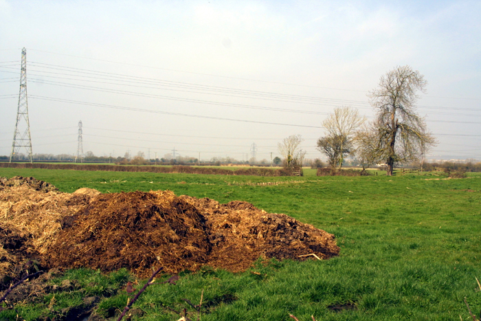
02 Christchurch/Nash/Whitson back-fen character area: low-lying
back-fen with simpler "intermediate" landscape
(Photo: GGAT Gwent Levels 042)
Click here for a character area map
Historic Background
The initial enclosure and drainage by reens and banks began by the fourteenth century. Individual field-boundaries are probably later (post-medieval ?).
Very little documentary evidence survives until the mid-seventeenth century, when a survey described the area and its drainage system in great detail.
Key historic landscape characteristics
Well-preserved drainage features (reens, banks, and surface drainage),
rectilinear field pattern arranged in blocks, very little settlement,
straight roads, without waste, lined by pollarded willows, giving a strong
"wetland" feel
Area of low-lying back-fen. Once extended to fen-edge but surviving area now bounded by the Steel Works to the north and Green Moor (area 9) to east. Whitson (area 4) and area 1 lie to the south and west.
The fairly rectilinear field-boundary pattern can be broken down into small blocks, defined by major reens and former banks that represent individual reclamations. Roads are mainly straight and without waste.
There was a distinct range of other landscape features. The lowest-lying areas closest to the fen-edge were occupied by a series of commons. They were destroyed by the Steel Works, along with two duck decoy ponds and the only two farms in this character area. There are several fine lines of pollards.
This area was once representative of a common type of landscape on the Levels, covering much of the back-fen. It is characterised by a fairly homogenous rectilinear pattern arranged in blocks of several dozen fields, with very little settlement. The roads are straight, without waste and lined by pollarded willows, giving a strong "wetland" feel.
Monksditch is particularly well preserved, being stone faced in places. With its lower level reen to the west, Whitson Arch bridge, and well-preserved grips in the surrounding fields, the area around the sub-station has a very high group value.
Hedge management varies, with a mixture of well-cut and scrubby hedges, and a large number of mature trees around the Whitson electricity sub-station.
The integrity and coherence have been damaged, though the impact of the
Steel Works is lessened by trees.